Svay Rieng, located in southeastern Cambodia, is one of the country’s smaller and quieter provinces. Despite its modest size, it is uniquely positioned along National Highway No. 1, a vital road link between Phnom Penh and Ho Chi Minh City in Vietnam. This strategic route has made the province a key transit point, contributing to its growing relevance in cross-border trade and tourism.
A Tranquil Capital with Growing Cross-Border Activity
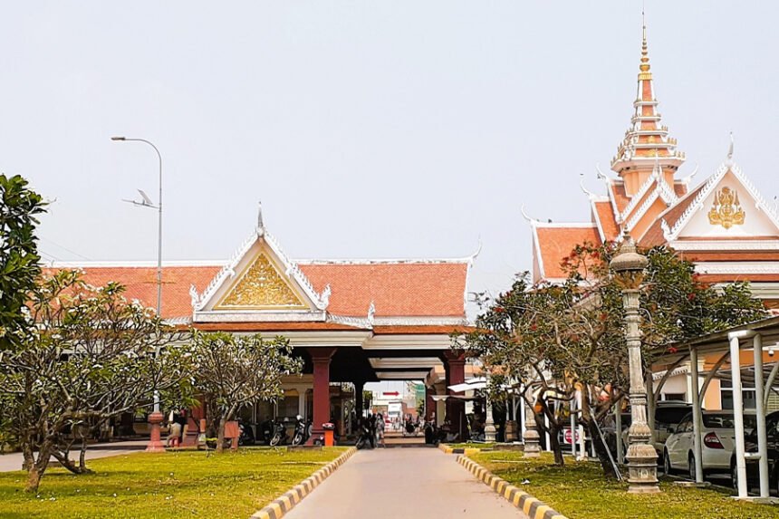
The provincial capital, also named Svay Rieng, is a peaceful riverside town located just 43 kilometers from the Bavet International Border Checkpoint. The town enjoys economic activity due to frequent travelers and business traffic between Cambodia and Vietnam. Known for its warm hospitality, Svay Rieng offers a calm and pleasant overnight stop for those on their way to or from Vietnam.
Set along the Waiko River and its expansive seasonal marshlands, Svay Rieng town is surrounded by scenic waterways that dry up and swell with the changing seasons. The Waiko Bridge, a key infrastructure piece supported by Prime Minister Hun Sen, is a prominent local landmark.
Historical Notes
During the Vietnam War, the area gained attention as American forces suspected it to be a key location for Vietnamese communist operations. Although this belief was largely based on assumption, it led to unauthorised bombing campaigns in 1969, followed by a joint U.S.–South Vietnamese ground offensive in 1970. While these events impacted the local landscape, the province has since focused on rebuilding and agricultural resilience.
Geography and Natural Features
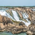
Svay Rieng spans approximately 2,966 square kilometers and is characterized by flat, fertile plains. Much of the land is submerged during the monsoon season, nourished by the Mekong River and the Tonle Bassac, both of which form natural boundaries for the province. The region supports extensive rice farming and other crop cultivation thanks to its seasonal wetlands.
Svay Rieng borders Kampong Cham to the north, Prey Veng to the west, and Vietnam to the east and south. The southeastern edge of the province juts into Vietnam, placing Svay Rieng in a unique position—almost encircled by international boundaries on three sides.
Population and Livelihood
As of 2007, Svay Rieng had a population of approximately 550,466, accounting for about 3.8% of Cambodia’s total. The gender distribution includes 261,318 males and 289,148 females, with a population density of 185.6 people per square kilometer.
The vast majority of residents are engaged in subsistence farming and fishing, relying on the land and waterways for daily livelihoods. In recent years, the rise of border commerce, especially around Bavet, has introduced new opportunities in trade and small businesses.
Climate and Weather Patterns
Svay Rieng experiences a tropical monsoon climate, making it suitable for both agriculture and tourism throughout the year. The province is not exposed to natural disasters like earthquakes, volcanoes, or typhoons, ensuring relatively stable weather conditions for visitors and residents alike.
Seasonal Overview:
- Cool Season: November to March (24°C – 32°C)
- Hot Season: March to May (28°C – 36°C)
- Rainy Season: May to October (24°C – 32°C, humidity up to 90%)
The average temperature hovers around 27°C, with April being the hottest month. While travel is possible year-round, road conditions may be affected during the last two months of the rainy season, particularly in rural areas.
Svay Rieng combines the serenity of rural Cambodia with the bustle of international trade. With its lush landscapes, historic significance, and welcoming communities, it serves as a peaceful waypoint between two nations and a province steadily building on its geographical strengths. Whether passing through or staying to explore, Svay Rieng offers visitors a genuine taste of Cambodia’s heartland charm and cross-border connectivity.